Langley sits about 15 meters above sea level on a complex mix of glacial till and marine clay. When you dig deeper than 3 meters here, the water table shows up fast. Our team sees this every season—contractors surprised by how quickly a trench wall can slough when the clay hits its liquid limit. Monitoring is not a checkbox. It keeps your crew safe and your shoring design honest. We run inclinometers, piezometers, and vibration sensors tied to the NBCC and CSA A23.3, giving you data that matches the rapid pace of excavation around 200 Street or the new industrial parks near Gloucester. For deeper cuts in till, we often pair monitoring with a slope stability analysis to catch failures before they start.
In Langley, a 3-meter excavation behaves differently in August than in November—your monitoring thresholds must reflect that.
Method and coverage
Regional considerations
A developer on 208 Street hit a sand lens at 7 meters. Water flowed in faster than the sump pump could handle. The shoring wall moved 12 mm in two hours. Because we had a live inclinometer in the soldier pile, the site super got an alert on his phone before the crack appeared on the asphalt outside the right-of-way. Without that sensor, the road would have settled by morning. Langley has pockets of permeable material buried in the till—old stream channels nobody mapped. A monitoring plan that only checks the obvious spots puts neighbors, utilities, and your schedule at risk.
Standards that apply
NBCC 2015 Part 4 (Excavation and Shoring), CSA A23.3-14 (Design of Concrete Structures), ASTM D7299 (Inclinometer Verification)
Complementary services
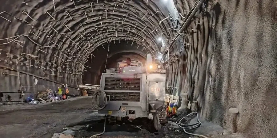
Shoring and Retaining Structure Monitoring
We install inclinometer casings in soldier piles and automated prisms on walers to track lateral movement. Data is checked against your design deflection limits and sent to the engineer of record daily.
Groundwater and Vibration Control
Piezometers track pore pressure changes during dewatering, while geophones measure peak particle velocity from compaction or blasting near existing structures.
Typical parameters
Top questions
What does excavation monitoring typically cost for a Langley townhouse project?
For a standard 4-to-6-unit excavation in the Township, monitoring programs usually range from CA$1,220 to CA$3,520 depending on depth, number of instruments, and how long the hole stays open.
How often do you take readings during active excavation?
During active digging we take inclinometer and survey readings every day the site is open. If the cut is stable and we are in a holding phase, we drop to twice a week. The schedule adjusts based on movement rates and weather.
Do you need a geotechnical engineer to interpret the monitoring data?
Yes. Our field technicians collect the raw numbers, but a licensed engineer reviews the trends, compares them to the shoring design assumptions, and signs off if thresholds are exceeded.